Find any Amazon.com product's deals and best prices with our free Amazon deal finder and price tracker. Simply paste the product link (URL) or search by name in the box above. You'll get full product information, Deal Score, and all current deals. Shop smarter with the best Amazon deals finder in the USA.
x
Sorry, Something went wrong!
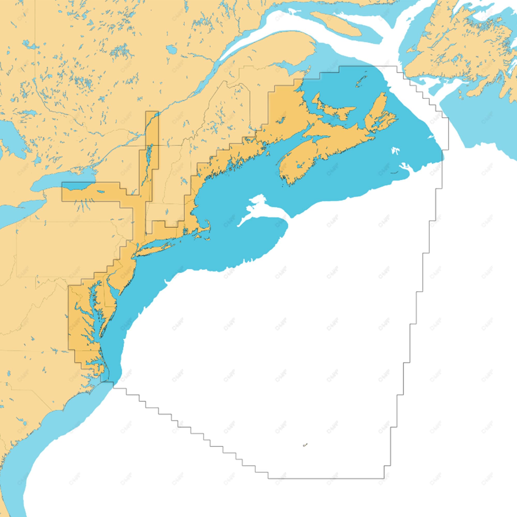
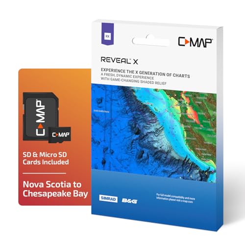
C-MAP Reveal X - Nova Scotia to Chesapeake Bay, Map Card for Marine GPS chartplotters
✅ In stock
F
Grade
Analysis Confidence
100%
⚠️ Price may have changed. Last updated 24+ hours ago — confirm on Amazon.
Check Deal at Amazon
Price verified Oct 13, 2026 3:20 AM · Prices & availability subject to change
Is This a Good Price on Amazon?
💤 Not a Deal- 💤Verdict: Not a Deal. Price is at or above historical norms. Best to wait for a sale.
- 💰The current price is slightly above the going rate for this product — worth watching for a drop.
- 📉This is the most affordable price seen in roughly three months — a solid near-term opportunity.
- ➡️Pricing has held fairly steady, with no strong push in either direction.
How We Scored This Deal
Price Competitiveness
0/28
Recent Value
0/22
Market Standing
0.13/20
Deal Strength
7/20
Momentum
4/10
📝 Product Overview
🏪 Sold by
Amazon.com
🚚 Shipping
Free Shipping
Product Details
✓FULL- FEATURED VECTOR CHARTS: Making navigation easy by giving you accurate, up-to-date vector chart detail derived from official Hydrographic Office information
✓HI-RES BATHYMETRY LAYER - Helps you identify shallow areas, drop offs, ledges, holes or humps. Now includes the very best of C-MAP HRB data, with integrated Genesis social map data
✓SUBSCRIPTION-FREE AUTOROUTING - Automatically plot the shortest, safest route based on detailed chart data and your personalized vessel information
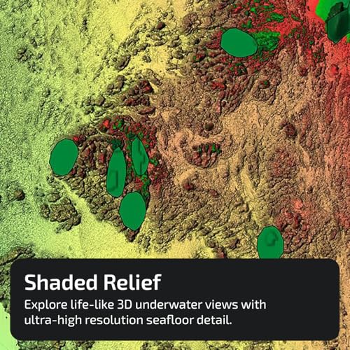
✓SHADED RELIEF: Bring the world around you to life, with 3D rendered land and underwater elevation – including areas of Ultra-High-Res Bathymetric imagery – a game-changer for anglers and divers
✓CUSTOM DEPTH SHADING: Set a clear safety depth, maintain a paper-like view or create your own custom shading
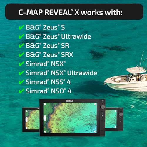
✓COMPATIBILITY: This REVEAL X Chart is only compatible with the latest Simrad and B&G chartplotters running NEON
✓INSTALLATION: This product comes programmed on a Micro-SD fitted in a SD card, most chart plotters come with a Micro SD card reader. To use this chart the Micro-SD card needs to be removed from the SD adapter
⚙️ Specifications
Brand
C-MAP
Model Name
Reveal X
Vehicle Service Type
Boat
Special Feature
Satellite Overlay, Advanced Mapping Layers
Map Type
Nova Scotia to Chesapeake Bay
Included Components
MicroSD Card, SD Card adapter
Mounting Type
Handheld
Product Dimensions
4.1"L x 0.1"W x 5.7"H
Year
2022
Touch Screen Type
Capacitive
Item Package Dimensions L x W x H
5.79 x 4.17 x 0.39 inches


