Find any Amazon.com product's deals and best prices with our free Amazon deal finder and price tracker. Simply paste the product link (URL) or search by name in the box above. You'll get full product information, Deal Score, and all current deals. Shop smarter with the best Amazon deals finder in the USA.
x
Sorry, Something went wrong!
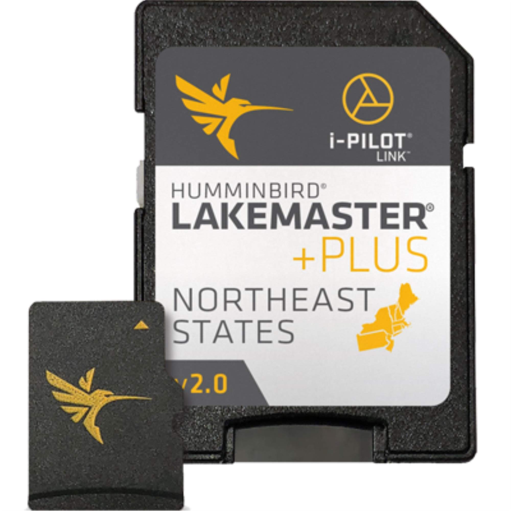

Humminbird 600045-4 LakeMaster Plus Northeast V2 Digital GPS Maps Micro Card
✅ In stock
F
Grade
Analysis Confidence
73%
⚠️ Price may have changed. Last updated 24+ hours ago — confirm on Amazon.
Check Deal at Amazon
Price verified Feb 11, 2025 6:24 AM · Prices & availability subject to change
Is This a Good Price on Amazon?
💤 Not a Deal- 💤Verdict: Not a Deal. Price is at or above historical norms. Best to wait for a sale.
- 💰At 49% above its usual rate, this is currently priced higher than what most shoppers have paid.
- 📉It has been quite a while since a more competitive price was available, lending today's offer solid comparative value.
- 📈Prices have been moving higher lately — waiting risks paying more if that momentum continues.
How We Scored This Deal
Price Competitiveness
0/28
Recent Value
0/22
Market Standing
0.14/20
Deal Strength
0/20
Momentum
0/10
📝 Product Overview
Product Details
✓Get an added angling advantage with LakeMaster Plus mapping, which adds high-quality aerial photography to its unrivaled accuracy and detail, easy-to-read contours, highlighted depth ranges, and scrollable lake lists.
✓This LakeMaster Plus Northeast States Edition, Version 2 boasts more than 130 high-definition lakes and over 1,700 total lakes from PA, NJ, NY, CT, MA, VT, NH, and ME, adding over 200 new lakes since the prior version (27 in high definition).
✓LakeMaster Plus enables you to view an aerial image overlay on high-definition waters to see the entry and exits of creek channels, to see how far a reef or weed line extends, and to pick out shallow-water rock piles, steep drop-offs, and other features.
✓Easy-to-see shading highlights shallow-water areas within an adjustable range up to 30 feet, and depth contours and shorelines can be synchronized with the actual water levels of lakes, reservoirs, and rivers.
✓LakeMaster Plus digital maps come on a Micro SD card (with included SD card adapter) that's compatible with all GPS-equipped HELIX, SOLIX, ONIX, and ION Series models and select 600-1100 Series models.
⚙️ Specifications
Brand
Humminbird
Model Name
LakeMaster PLUS
Vehicle Service Type
Boat
Screen Size
27 Inches
Special Feature
Lightweight
Connectivity Technology
Bluetooth
Map Type
North America
Included Components
Includes micro SD card with full size adapter and water resistant SD card carrying case.
Audio Output Mode
Stereo
Mounting Type
Dashboard Mount
Item Package Dimensions L x W x H
7.4 x 5.39 x 0.63 inches