Find any Amazon.com product's deals and best prices with our free Amazon deal finder and price tracker. Simply paste the product link (URL) or search by name in the box above. You'll get full product information, Deal Score, and all current deals. Shop smarter with the best Amazon deals finder in the USA.
x
Sorry, Something went wrong!
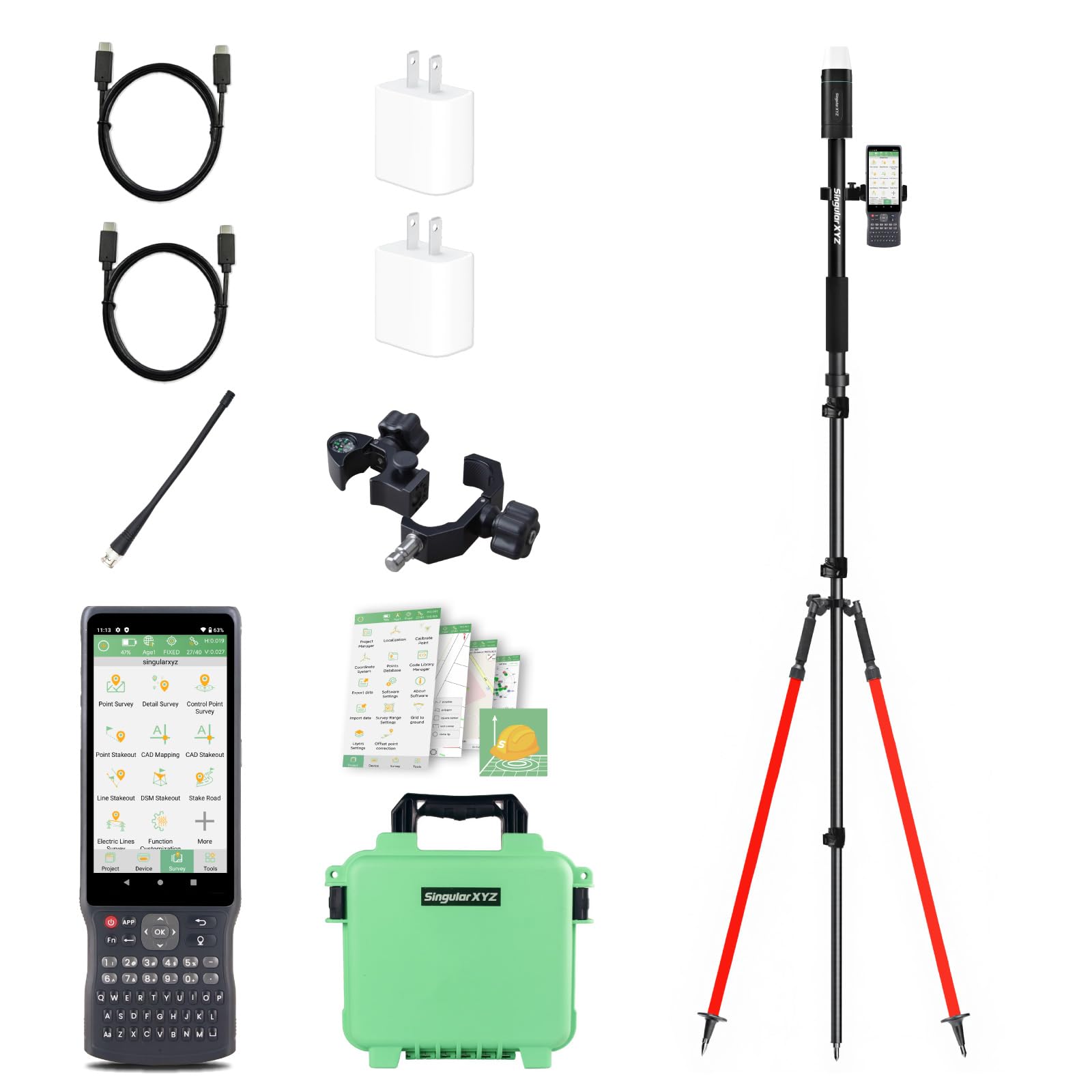
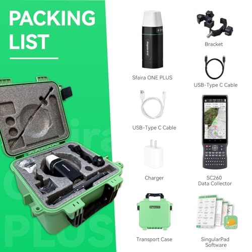
sfaira Plus+1.8M Pole+RED BIPOD
✅ In stock
F
Grade
Analysis Confidence
90%
⚠️ Price may have changed. Last updated 24+ hours ago — confirm on Amazon.
Check Deal at Amazon
Price verified Aug 20, 2026 11:48 PM · Prices & availability subject to change
Is This a Good Price on Amazon?
💤 Not a Deal- 💤Verdict: Not a Deal. Price is at or above historical norms. Best to wait for a sale.
- 💰The current price sits right around what this item typically fetches.
- 🏷️The listed retail price is trimmed by 5% at checkout.
- 📉It has been quite a while since a more competitive price was available, lending today's offer solid comparative value.
- ➡️Pricing has held fairly steady, with no strong push in either direction.
How We Scored This Deal
Price Competitiveness
1.2/28
Recent Value
0/22
Market Standing
1.54/20
Deal Strength
5/20
Momentum
4/10
📝 Product Overview
🏪 Sold by
SingularXYZ
📦 Fulfillment
Fulfilled by Amazon
Product Details
✓【Wide Applications】Sfaira ONE Plus gnss rtk can be used in land surveying, GIS, mine surveying, topographic survey, cadastral survey, road stakeout, robotics, etc.
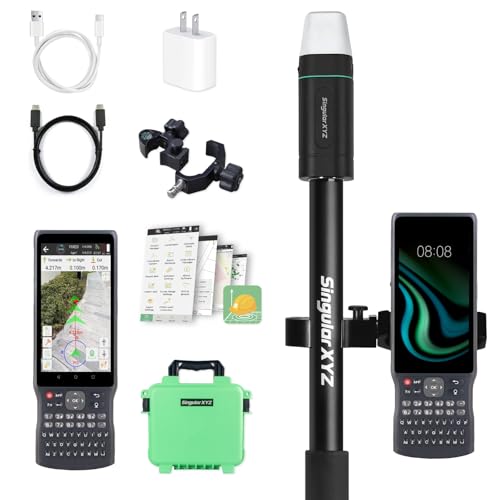
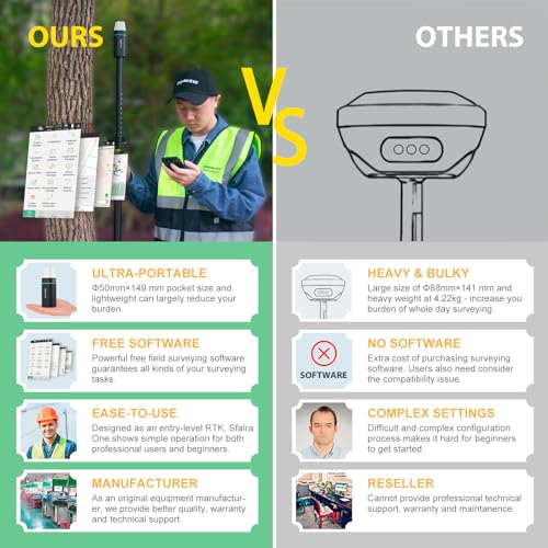
✓【Why Choose Sfaira ONE Plus?】RTK GPS Up to 60° tilt surveying, pocket-size portability, and a 16-hour battery. Sfaira ONE Plus tracks GPS, BDS, GLONASS, Galileo, and QZSS for a professional and efficient surveying experience.
✓【How to use?】 ① Connect the Sfaira ONE Plus RTK GNSS with your phone via Bluetooth. ② Login to your CORS account (RTK corrections service) in the software or connect to your RTK base station of internal GSM mode and get fixed RTK solution. ③ Initialize the tilt IMU function - shake the pole for 5 seconds. ④ Start working: the software supports Point Survey, Detail Survey, CAD Mapping, CAD stakeout, Road Stakeout, Surface Stakeout, Layer Editting and wide calculation functions.
✓【Easy to get started】Tutorial videos, detailed manual and online one-to-one technical support can definitely help every user to get started with Sfaira ONE Plus easily without concerns.
✓【Network RTK】The Sfaira ONE/Sfaira ONE Plus GPS survey equipment is only a network RTK rover which needs to be connected with reference station (CORS/VRS) via internet(3/4G).
⚙️ Specifications
B0FLDNP8BQ
Wireless
ASIN
B0FLDNP8BQ
Other display features
Wireless
Date First Available
May 21, 2025
SingularXYZ
B0FLDNP8BQ
Brand
SingularXYZ