Find any Amazon.com product's deals and best prices with our free Amazon deal finder and price tracker. Simply paste the product link (URL) or search by name in the box above. You'll get full product information, Deal Score, and all current deals. Shop smarter with the best Amazon deals finder in the USA.
x
Sorry, Something went wrong!
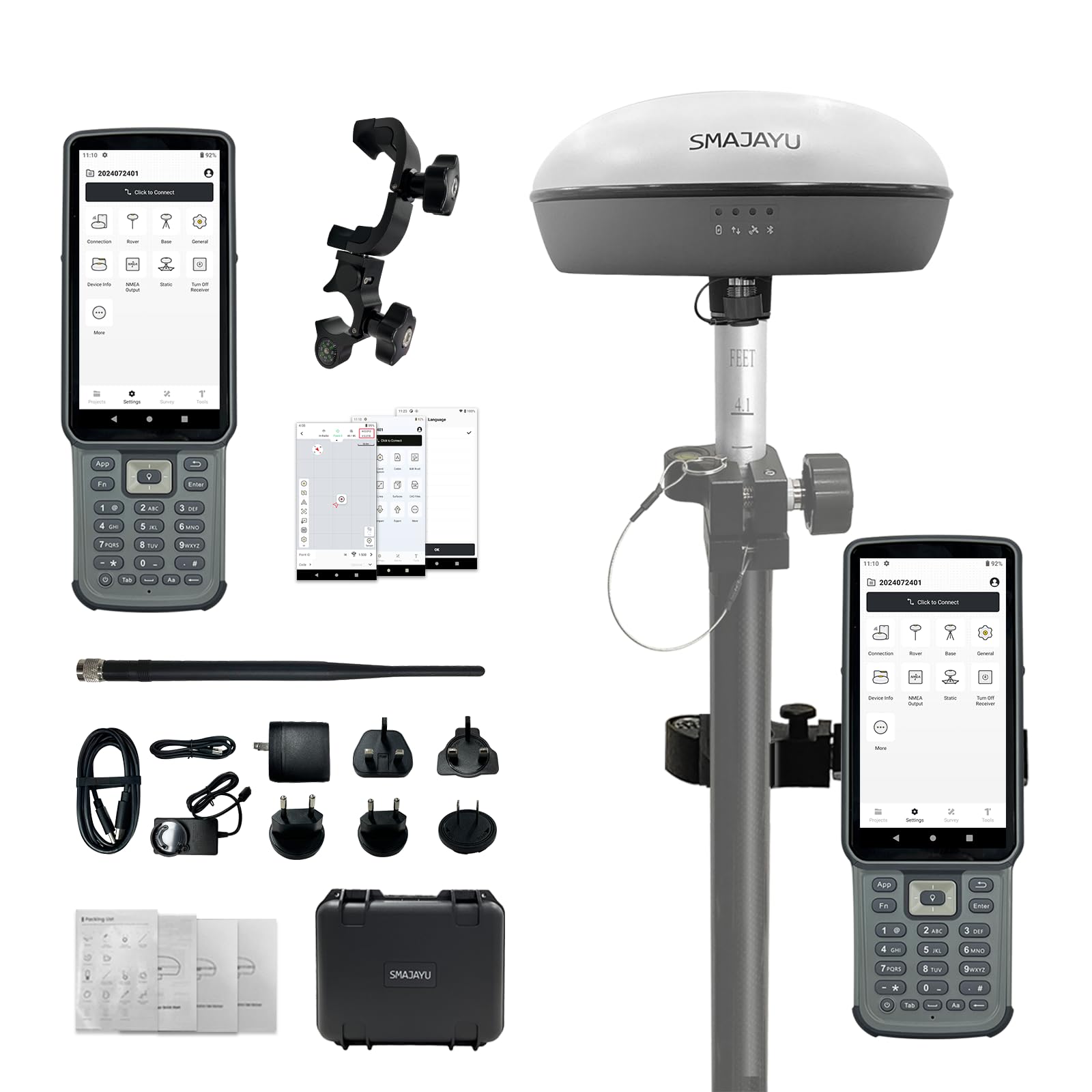
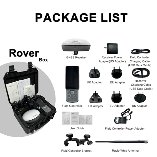
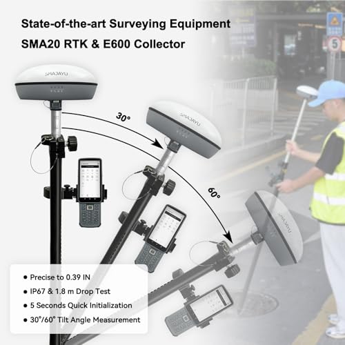
SMA20RTK Rover, PPK PPP IMU NOAA certificated GNSS Land Surveying Rover,Software,1408channes, Connect CORS for Correction,1 inch Accuracy PPK Calculation (Exclude Pole)
✅ In stock
F
Grade
Analysis Confidence
59%
⚠️ Price may have changed. Last updated 24+ hours ago — confirm on Amazon.
Check Deal at Amazon
Price verified Apr 6, 2026 12:31 PM · Prices & availability subject to change
Is This a Good Price on Amazon?
💤 Not a Deal- 💤Verdict: Not a Deal. Price is at or above historical norms. Best to wait for a sale.
- 📉It has been quite a while since a more competitive price was available, lending today's offer solid comparative value.
- 📈Prices have been moving higher lately — waiting risks paying more if that momentum continues.
How We Scored This Deal
Price Competitiveness
0/28
Recent Value
0/22
Market Standing
13.72/20
Deal Strength
0/20
Momentum
0/10
📝 Product Overview
🏪 Sold by
Smajayu
🚚 Shipping
Free Shipping
Product Details
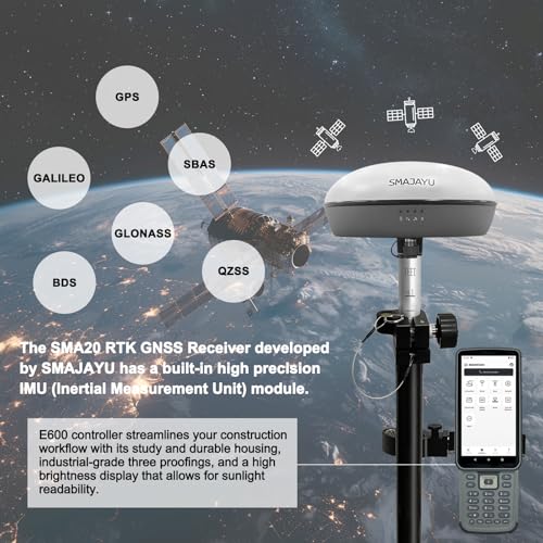
✓Advantages: ①Triple Frequency, Offers higher accuracy and Stability,Stronger Resistance,Faster Convergence time: ②NOAA certification: SMA20RTK is antenna name of NOAA registered; ③PPK rover logging or Base Logging capability, PPK calculation on collector; ④PPP method: PPP method by Galileo HAS correction; ⑤Rinex logging enabled which can export rinex files directly to PC; ⑥Ntrip network connection supported by login a CORS account on collector; ⑦Adaptable to Satellites signal blockage area, forest,canyons because of PPK capability
✓Capability: RTK GPS Land surveying equipment Rover+Collector(Software permanent valid). Free switching between rover and base station. ①1-2cm RTK accuracy and Dual Frequency and Full-Constellation; ②max. angle 60°tilt, 30°2.5cm accuracy (horizontal); ③10hours for base,15hours for rover under continuous work of each battery charge; ④10cm accuracy by PPP method, no need base station; ⑤2.5cm accuracy by Ntrip network station; ⑥Data output format: RTCM3.X (input&. output), NMEA-0183 (input&. output), CMR (input), RTCM2.X (input). RTCM data for PPK; ⑦Multiple constellation adaptable to any country and suitable for use in various complex and challenging environments
✓RTK Connection: Rover+Ntrip: login CORS account on software till RTK fixed
✓Application: The SMA26 RTK GNSS receiver provides the accuracy needed for a wide range of surveying and engineering applications, including topographic surveying, geographic surveying, engineering surveying, agriculture field measurement, mine surveying, construction surveying
✓Surveying Software: The surveying software is pre-installed on the handheld collector and is permanently valid. Users can always access a download link to update the software to the latest version
✓Tech Support: For sure buyer can contact seller tech team for support by email to make sure the equipment 100% works well. Please refer to the PDF e-manual and operation videos as well
⚙️ Specifications
Brand
SMAJAYU
Model Name
SMA20 RTK Rover
Screen Size
5.5 inches
Special Feature
Multi-Correction Methods, NOAA Certification, PPK, PPP, Touchscreen
Connectivity Technology
USB
Map Type
Worldwide
Included Components
Field Controller, GNSS Receiver, Other accessories
Battery Life
15 hours
Mounting Type
Handheld
Operating System
Android
Package Dimensions
15 x 13 x 8 inches


